
The Parish of East Down
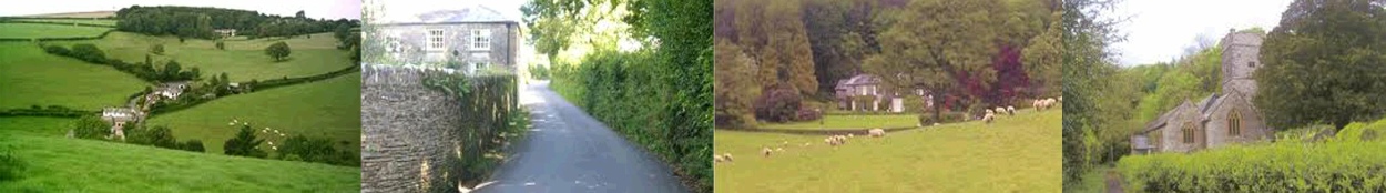

Walking the Parish Footpaths
East Down Parish has nearly 20 kilometers of public footpaths.
Click on the map for a downloadable map of the Parish (A1 size) including footpaths and footpath numbers. Unfortunately, the resolution isn’t great - not as clear as a standard OS map. Therefore we recommend that this map is used in conjunction with the correct OS map of the area.
We have three walks available in leaflet form - you can click on the links to download these printable leaflets. All three walks start at the Village Hall. The maps are indicative only and we recommend that an OS map of the area is carried.
Devon County Council have an interactive footpath map on their website. Here’s the link: Interactive Map
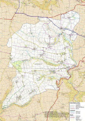
Click the map for a large map
Downloadable Walks leaflets
|
|
Footpaths covered |
Click to download |
|
Walk 1 |
12, 13, 15, 18, 19 |
|
|
Walk 2 |
13, 15, 16, 19, 20 |
|
|
Walk 3 |
9, 10, 11 |
Suggested further walks
A short walk covering footpaths 1, 23, 17
A very long walk covering footpaths 20, 19, 13, 21, 18, 12, 15, 16, 19, 20
| Footpaths |
| Councillors |
| Meetings |
| Accounts |
| Useful numbers |
| Severe Weather Support |
| Publications |